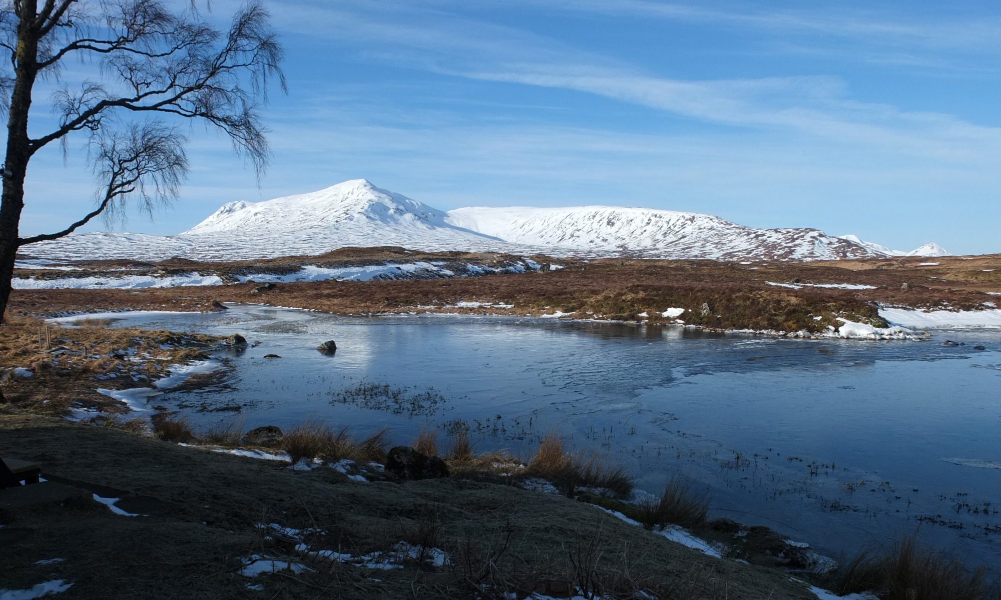
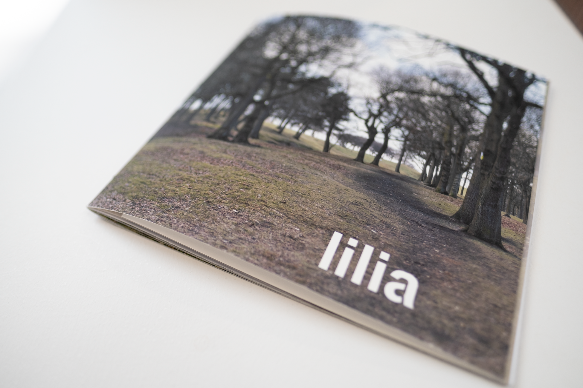
Mick McGraw, Lilia , 2025, artist book, laser printed on 120gsm paper in an edition of 20. [Photo credit: Michael Mersinis] 
Mick McGraw, Lilia , 2025, artist book, laser printed on 120gsm paper in an edition of 20. [Photo credit: Michael Mersinis] 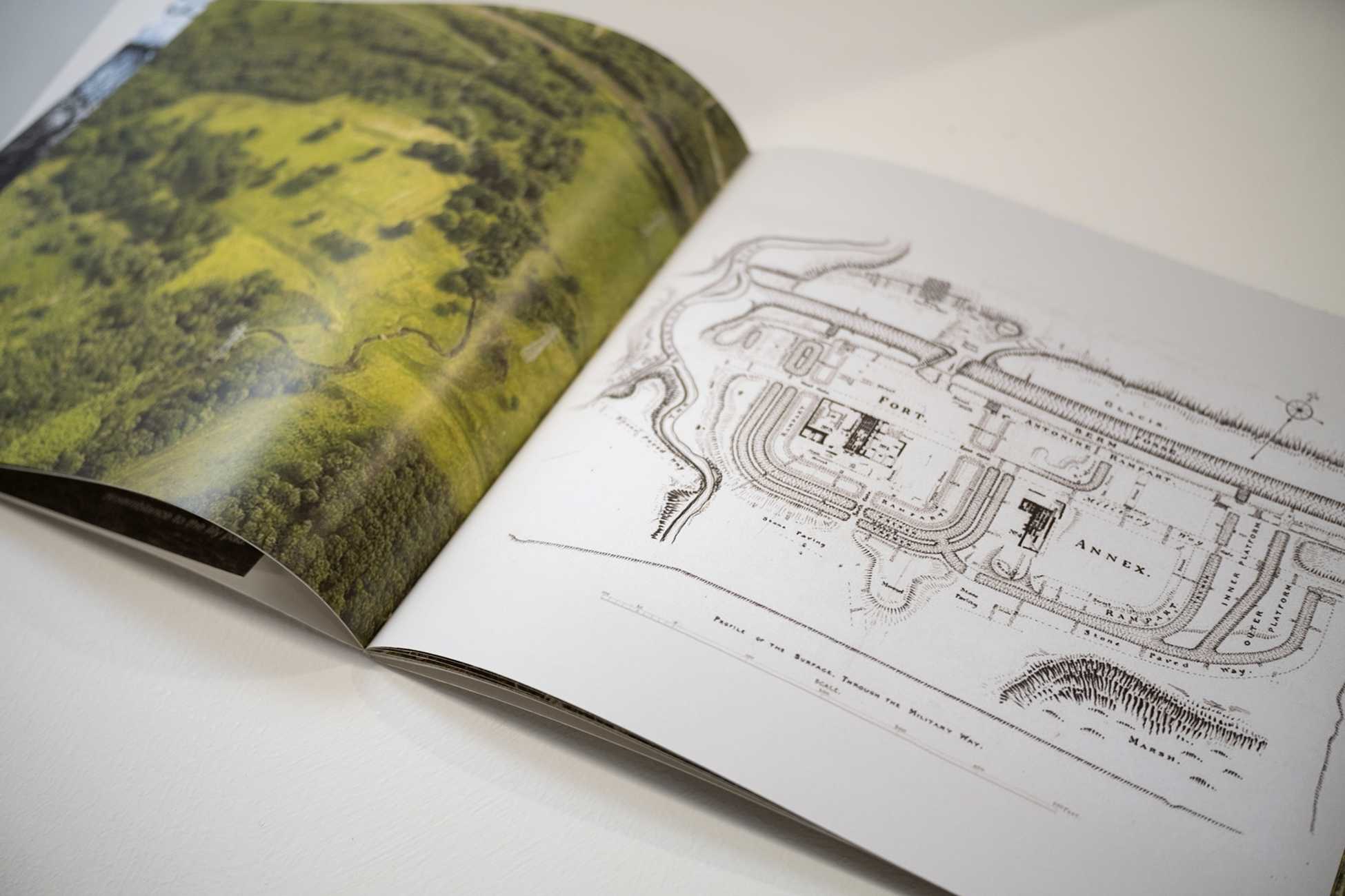
Mick McGraw, Lilia , 2025, artist book, laser printed on 120gsm paper in an edition of 20. [Photo credit: Michael Mersinis]
The Antonine Wall was constructed around AD 142 and stretched between Old Kilpatrick on the banks of the River Clyde in the west, to the River Forth in Bo’ness in the east, providing a continuous barrier to halt the movement of people across the Central Belt of Scotland. The land between the two major rivers formed a natural point for the Romans to control movement and trade. The wall had many forts and surveillance points along its route and was protected by many forms of defence, ramparts and ditches. ‘Lilia’ were groups of deep defensive pits, dug in the ground and filled with sharpened stakes. They took their name from their resemblance to lily ponds. These pits, arranged in a quincunx pattern (akin to a chessboard) would be camouflaged by branches and undergrowth, waiting to impale any invaders from the Caledonian tribes before they could reach the ramparts of the wall.
Judith Schalansky, Pocket Atlas of Remote Islands (2012), London: Particular Books.
Erling Kagge, Silence in the Age of Noise (2018), London: Penguin Books.
Paul Virilio and Raymond Depardon, Native Land: Stop Eject (2009), Arles: Actes Sud.
